
Coastal Job: Ocean Mapper
Paola Travaglini busts through ice to map unseen seafloor.
Article body copy
Some people work in cubicles, others work in kitchens, but the most intriguing workplace of all may be the coast. Meet the people who head to the ocean instead of the office in our Coastal Jobs series.
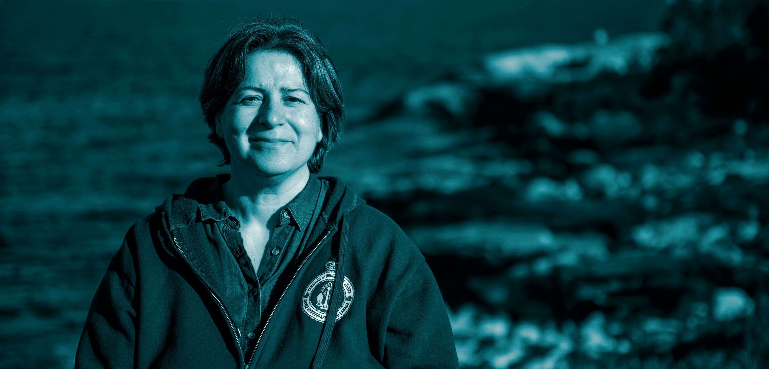
Paola Travaglini has crossed the Arctic Ocean three times, twice as the chief hydrographer on Canada’s largest icebreaker, the CCGS Louis S. St-Laurent. Last year, her team submitted the seafloor data they collected and analyzed to the United Nations Commission on the Limits of the Continental Shelf (CLCS), asserting Canada’s right to the underwater territory. Denmark and Russia also submitted claims. The race is on to redraw Arctic borders and it starts at the seafloor.
I was always a map person. I liked the artistic side of maps combined with the mathematical component. I also enjoyed being out on the water. The Canadian Hydrographic Service was a perfect fit for me—I’ve worked here since 1991. Our predominant business is charting navigable waters and making sure they’re safe for anyone who comes into Canada.
You may have heard that Canada is defining the extent of its sovereign rights in the Atlantic, Pacific, and Arctic Oceans. To meet one of CLCS’s criteria for scientifically defining the outer extent of a country’s continental shelf, my team needed to map the Arctic seafloor’s 2,500-meter contour.
In 2014, the first year I went to the Arctic on the Canadian icebreaker CCGS Louis S. St-Laurent, there was very heavy ice—it was three to four meters thick in places. When the ship broke through, the pressure was so intense that the ice sheets naturally closed back on themselves and covered our path. As the chief hydrographer on board, I had to strategize by reading the ice conditions, looking for weaknesses where there would be an opportunity to travel, and then formulating the daily plan with the chief scientist and the captain. In lighter ice, we could move at roughly five knots (nine kilometers per hour) at the most, and we surveyed about 8,000 kilometers of the Arctic Ocean over 26 days. So, it was pretty slow.
To map the seafloor, we use a multibeam echo sounder that’s built into the hull of the ship and is roughly the size of a school bus. It sends down a fan of sound that bounces back to the ship where we use software to translate that sound into a 3D view of the bottom. It takes awhile for sound to travel through 4,000 or 5,000 meters of water to the seafloor. The water’s salinity and temperatures can actually bend the ping we send down, almost like how light bends through a prism, but we can correct for that.
One of the biggest challenges is that we’re crashing the hull into ice, which interferes with the sonar. I’m also interpreting all the data coming at me—the ice thickness, the wind direction, the echo sounder’s settings, to name just a few—and relying on my experience and training to make the best decisions possible. It’s a scientific process but an art as well.
Based on a variety of information collected over a 10-year span, including my team’s multibeam data, in 2019 Canada submitted evidence to the UN that our continental shelf extends an additional 1.2 million square kilometers. That submission is awaiting review. We also shared information with the Seabed 2030 Project, which is an initiative to map the world’s oceans by the end of the decade. On Google Earth, the general public can scan the areas we mapped and see volcanoes that looked less detailed with the older technology. It was incredible to see how well defined these features became—it was like putting glasses on.
In waters that are critical for navigation, things like erosion and landslides constantly change the topography. Technology improves as well. Some seafloor will require constant mapping. I suspect we will never be finished.
During mapping trips to the Arctic in 2015 and 2016, Paola Travaglini and her colleagues gathered this imagery of undersea topography in the Atlantic Ocean, including 30 volcano-like features. Animation courtesy of Paola Travaglini