
Tribes Use Western and Indigenous Science to Prepare for Climate Change
Northwestern tribes and the University of Washington climate group have joined forces to help protect salmon, roots, trees, and other important resources.
Article body copy
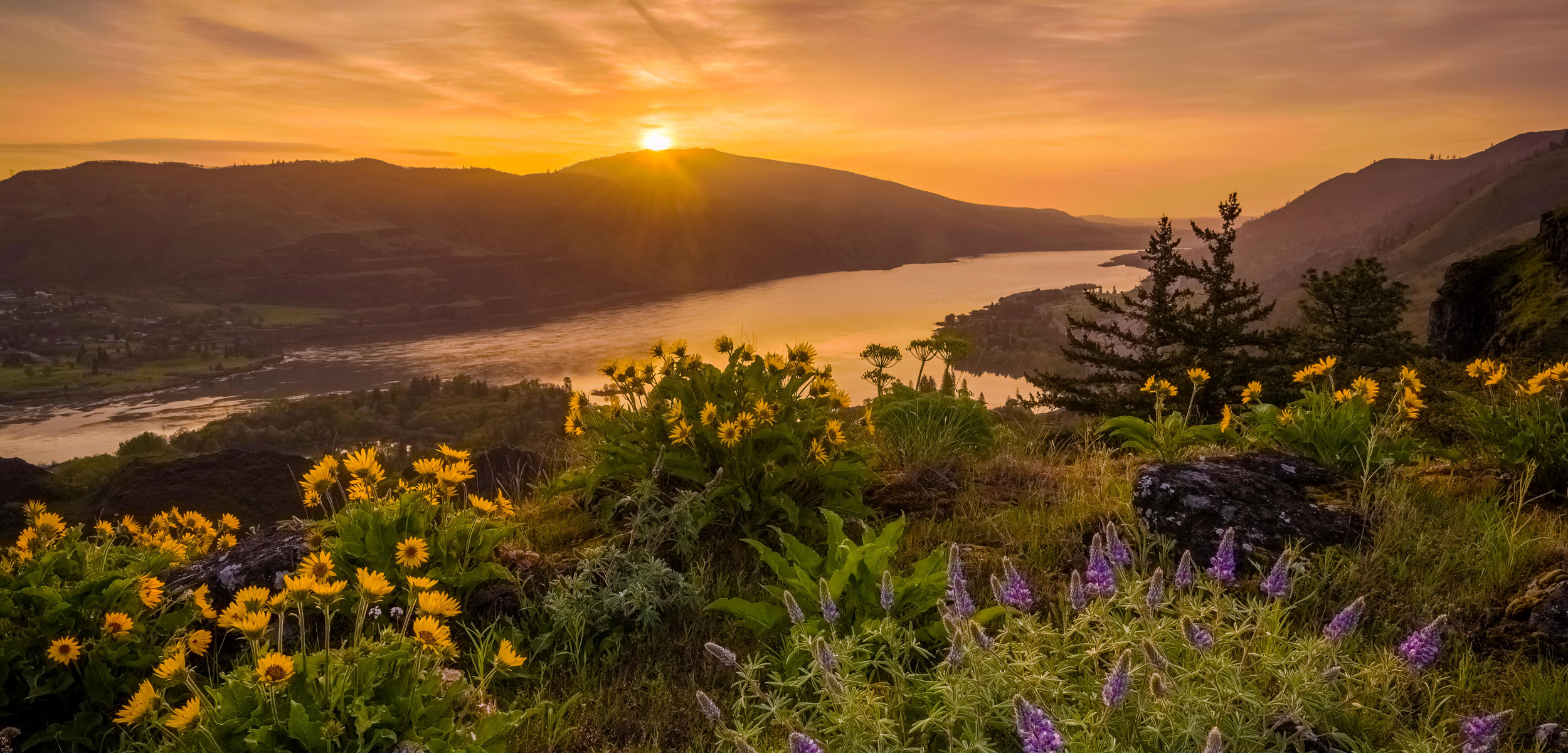
Historically, snow from the Cascade and Blue mountains would melt slowly over months, releasing a flow of cold water that sustained salmon and other wildlife in the Columbia River. Today, there’s less snow, and the spring thaw is hitting earlier. Three years ago, those changes—exacerbated by drought and hydropower dams—culminated in a catastrophe on the Columbia’s largest tributary, the Snake River: the water temperature reached lethal levels, and just one percent of the sockeye salmon survived to spawn.
“I felt sickened by the death of these salmon,” says Don Sampson, climate change project manager for the Affiliated Tribes of Northwest Indians, a group of 57 tribes in six western states. The disaster will linger, he adds, hampering many future generations of salmon.
Salmon is a critical food and a cultural foundation of many Pacific Northwest tribes, says Meade Krosby, a conservation scientist with the Climate Impacts Group at the University of Washington (UW). Climate change is altering many environmental factors—from the timing of spring runoff to water temperature to snowpack and glacier extent—that have dictated the abundance and behavior of salmon and other vital resources. Indigenous communities, many of which practice traditional harvesting and gathering, either for sustenance or as a cultural practice, are already seeing these changes and want to take action to protect the resources most important to them.
Now, a collaborative effort by Krosby and her colleagues at UW, Sampson and his team, and other regional tribal partners is putting Indigenous communities in the US Northwest at the forefront of climate adaptation planning. The project uses advanced computer modeling to help tribes understand the precise impacts climate change will have in their territories, so they can plan now to adapt.
The result of the two-year project is an online tool that provides 50 tribes with high-resolution climate forecasts showing how specific resources, such as salmon, berries, and roots, will be affected in their area. The level of geographic detail offered by the projections is higher than with most regional climate models, Krosby says, which is crucial to help tribes prioritize their planning and adaptation decisions.
The number of climate impacts in the online tool and the current data that articulate them are the best available right now, says Krosby. The 20 impacts, including snowpack, rainfall, stream temperature, growing season, fire danger, and soil moisture, vary under different climate change scenarios, which are portrayed in the model. Also somewhat unique is that the projections are provided as maps, graphs, and short-text descriptions to help people understand the data easily.
Other Northwestern tribes that did not work as closely with the research team can also access the site to get climate data summaries for their territories.
The tool is pure Western science, says Krosby, but the site also provides examples of tribes using traditional knowledge, or a combination of traditional knowledge and Western science, to develop climate adaptation plans.
Stefanie Krantz, climate change coordinator for the Nez Perce in Idaho, says Indigenous peoples’ long histories of close attention to nature allow them to survive on the land, but it also helps them notice oncoming changes earlier. Historical customs guide Indigenous peoples to gather certain foods at particular times and places, year after year. “When [salmon runs or berries ripening] don’t happen in the order or time that they’re expecting, they notice,” Krantz says. “For Westerners like myself, who grew up foraging at the grocery store, that connection is lost.”
Krantz says the Nez Perce are equally interested in Western and Indigenous science. “It’s all science to them. They’ve been practicing their craft for thousands of years.”
“We’re sort of ecology babies, and they’re ecology masters,” she adds.
Sampson says the online tool saves tribes from having to pay for and extract climate change information from obscure databases, and then try to apply it to their own areas of concern. For tribes that are just beginning to plan for climate change, he says, “I think it saves them three years of effort.”
Some communities, including Sampson’s own tribe, the Umatilla in Oregon, are using the data to bolster their existing climate adaptation efforts. Sampson, who is also a fisheries scientist, has spent many years fighting for salmon recovery in the Pacific Northwest. He first noticed the precipitation changes and warming water two decades ago.
Salmon are important to the Umatilla, and they would like to avoid repeating the recent mass die-off. Climate projections show how warm parts of the Umatilla River will get, while the Umatilla’s traditional ecological knowledge tells them where cold springs have historically emerged from the ground to create pockets of cold water that keep fish safe. “These springs have always been places where fish gather, and that’s where we fish,” he says.
Sampson says the Umatilla can’t prevent the entire river from warming, so they will focus their efforts on these cold springs. They plan to reforest the riverbanks near the cold springs to shade the water and keep it cool. Knowing what impacts climate change will bring is helpful, he says, because “it will take us 20 years to rebuild that riparian area. We’re going to have to acquire that land so private landowners don’t bulldoze the banks.”
The Nez Perce have already begun adaptation planning, too, says Krantz, but the tool was a boon because it summarized a lot of data and packaged it at different spatial scales, such as a particular watershed, or their reservation, which helps with decision-making and implementation.
It also brought new factors to her attention. Krantz says she hadn’t yet looked at projections for soil moisture and fire risk, but they were shocking to see.
“Those soil moisture maps just made me think, man, this whole place is going to be on fire,” Krantz says.
That information pushed them to prepare in order to protect tribal members’ health on bad air days. The Nez Perce bought air filters to create air quality shelters, so “everybody has a place where people can filter the air and breathe,” Krantz says. The forestry division is providing fire education to help people protect their homes and property, and it plans to remove smaller trees and brush, that can ignite larger trees, to reduce the ferocity of fires.
It’s a bit ironic that Western science is directing them to conduct forest thinning and prescribed burns because those tools had been practiced by tribes for millennia to cultivate spaces ideal for the plants they harvest and the animals they hunt. But then the tradition was suppressed by colonizers, Krantz says. But as climate change and a century of poor forest management are inflaming catastrophic wildfires, Western scientists are increasingly recognizing the wisdom of this traditional practice.